Tesla Develops Proprietary Mapping System to Resolve FSD Navigation Errors
After years of claiming high-precision maps were unnecessary, Tesla is now building its own data-driven map layer to improve speed limit detection and route planning for its Full Self-Driving software.
By Chloe Phillips ·
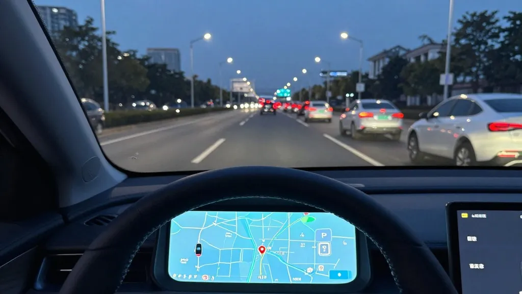
In 55% of the 30 km/h zones tested by a Belgian road safety group last month, Tesla’s Full Self-Driving system exceeded the posted speed limit, averaging 44 km/h. This recent finding highlights a persistent challenge for the company’s vision-based software, prompting Tesla to announce a significant strategic shift. The automaker is now developing its own internal mapping technology to address common failures in reading speed limits, managing parking, and selecting optimal routes. This move marks a notable departure from the company’s long-standing public stance that reliance on external maps makes self-driving systems fragile.
The decision was detailed during Tesla’s third-quarter 2026 earnings call, where the company’s head of AI, Ashok Elluswamy, outlined the new architecture. The initiative responds to feedback from shareholders who noted that mapping issues remain a primary source of frustration for users. Specifically, a retail investor asked why Tesla continued to depend on third-party navigation data for critical functions. Elluswamy agreed that the company should not rely on external providers, confirming that Tesla is building a new AI-based mapping and navigation system fed by collective data from its existing fleet.
This new system is designed to learn from the aggregate experience of millions of vehicles. It will also incorporate individual driver preferences and respond to voice commands. According to Elluswamy, the technology will initially handle the start and end of trips with the upcoming FSD v15 release. Over the following months, the system is expected to take over broader navigation, parking, and destination handling functions, reducing the reliance on external data sources for these specific tasks.
The shift represents a reversal of earlier messaging. When Tesla launched Autopilot in 2015, it told Fortune that it was building high-precision maps with 100 times the granularity of standard navigation. However, by 2019, CEO Elon Musk had changed course. During an Autonomy Day presentation, Musk described the company’s earlier attempt at high-precision lane maps as a huge mistake. He argued that relying on such maps made a self-driving system extremely brittle and called the use of lidar a fool's errand. The prevailing message at the time was that Tesla could solve driving through cameras and AI alone, without the need for detailed cartographic data.
Seven years later, the approach has converged with the methods used by competitors like Waymo. While Tesla maintains that its maps are less defined and serve different purposes than Waymo’s high-definition lidar-based maps, the fundamental mechanic is similar. Both companies are using their respective fleets to map roads and identify information that the self-driving system cannot reliably determine on its own. Tesla’s vehicles are now acting as a mapping fleet, collecting data that feeds into a central system to improve driving performance across the entire network.
This development aligns with the current operational model of Tesla’s Robotaxi service, which operates within small, geofenced areas on a city-by-city basis. Although Tesla is not currently advertising centimeter-level high-definition maps, a fleet-built map that becomes increasingly detailed over time could easily evolve in that direction. The new mapping layer aims to solve specific environmental understanding problems, such as correctly identifying speed limit signs, which the vision system has frequently struggled with in real-world conditions.
The need for this map layer is underscored by recent regulatory and safety scrutiny. In the US, the NHTSA is weighing an investigation into claims that Tesla Robotaxis speed through active school zones. This review covers approximately 1,000 Model Y and Cybercab vehicles. These incidents suggest that the end-to-end vision system alone has not yet achieved the reliability promised in earlier years, particularly when interpreting simple road information like speed limits. The new internal maps are intended to close this gap by providing a more robust framework for environmental context.
For consumers and industry observers, this update signals a maturation of Tesla’s self-driving strategy. It acknowledges that a hybrid approach, combining real-time vision with a continuously updated internal map, is necessary for unsupervised driving. As Tesla pushes unsupervised FSD in customer cars toward the second quarter of 2027, the integration of this proprietary mapping technology will be a critical component in determining the system's success and its ability to operate safely in diverse driving environments.
Source: Electrek · original report published